Publications
15
Research
Selected publications spanning maritime safety, anti-collision strategies, vessel simulation, and navigation support. This section brings research output into one practical and navigable index.
Publications
15
Timespan
2016 to 2025
Main domain
Maritime navigation

The operationalization of Maritime Autonomous Surface Ships (MASS) requires deterministic collision avoidance algorithms capable of guaranteeing safety without human judgment. Traditional CPA-based approaches provide continuous metrics unsuitable for the binary decision-making required by autonomous systems.
This paper proposes mapping the Safe Control Space — the set of all rudder angle and timing combinations that prevent ship domain violation. Ship dynamics are modelled using the MMG framework with the KVLCC2 benchmark vessel. Systematic simulations across encounter geometries map how manoeuvre delay and rudder angle jointly determine domain violation risk.
The resulting Control Space Maps visualise critical decision boundaries, enabling identification of the Last Effective Anti-collision Maneuver (LEAM) — the final moment when a given rudder command can still prevent domain violation. Analysis reveals that LEAM timing follows a hyperbolic relationship with rudder angle, with significant asymmetry between port and starboard manoeuvres depending on encounter geometry.
Expected Q4 2026

An integrated comprehensive system of an Autonomous Surface Vessel (ASV), dedicated to ships with various degrees of autonomy, performing a variety of tasks aimed at safe voyage execution.
The system uses basic and additional information sources — including data from unmanned aerial vehicles — to increase situational awareness. Key elements include collision avoidance and automatic communication modules capable of developing and agreeing on manoeuvres between autonomous vessels through a negotiation process.
The model was verified in three stages:

In 2019, the Minister of Science and Higher Education awarded over PLN 17 million to finance projects of exceptionally talented students conducting high-level scientific research with outstanding achievements.
A summary of results from the Diamond Grant project (2019–2022), devoted to modelling ship movement and using the MMG mathematical model to simulate anti-collision manoeuvres that allow collision avoidance or minimisation of predicted effects.
The monograph has a holistic layout covering:
The emphasis is on reproducibility — algorithms are presented as block diagrams, equations in explicit form, and complete parameter sets for three sample ship variants are provided. The mathematical model has a modular structure: elements relating to hydrodynamic aspects, weather, or bathymetric conditions can be included or omitted depending on needs.
ISBN 978-83-64434-49-5
Generation of a set of hydrodynamic coefficients enabling manoeuvring simulation of m/v Nawigator XXI — a vessel never previously simulated using the MMG model.
Several full-scale trials were carried out. A starting set of hydrodynamic derivatives based on semi-empirical formulae was formed and then tuned to minimise the summarised error of manoeuvring indices between simulation and experimental data. The resulting set, named N7, allows for simulation of the vessel's manoeuvrability with satisfactory accuracy and can be used for further studies in collision avoidance planning or track optimisation.

Generating a single anti-collision trajectory for one vessel is significantly different from generating a whole set of safe trajectories for multi-surface vehicle encounters at sea. Effective solutions for such problems are essential as we enter the era of autonomous ships.
The paper proposes the Multi-surface Vehicle Beam Search Algorithm (MBSA), which solves many-to-many anti-collision trajectory planning. The general idea involves applying the BSA solution for one-to-many encounters, tested on real ARPA and AIS data. The MBSA was further verified against simulated data for multi-vehicle scenarios, excluding COLREGs and vehicle dynamics.
A strategy for anti-collision, shortest trajectory planning based on the beam search method.
The Beam Search Algorithm (BSA) evaluates many safe trajectories for the present ship and selects the best in terms of length and other criteria. Collision risk is detected when the closest point of approach (CPA) is violated by a target ship's planned trajectory. Only course alteration is applied — not speed alteration.
The algorithm was implemented in NAVDEC and tested in a real navigation environment on the m/f Wolin, a Polish ferry. Almost all BSA trajectories were shorter compared to the standard NAVDEC-calculated algorithm.
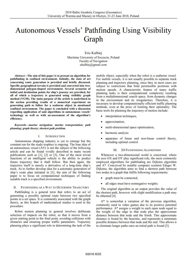
An algorithm for pathfinding in confined environments using the Visibility Graph Method (VGM).
Specific geographical terrain is converted into a two-dimensional polygon-shaped environment. Several scenarios of initial and destination points are provided, for all of which a trajectory is generated. The paper presents results of a numerical experiment on generating paths for a seaborne object and concludes with a discussion on application in autonomous vessel technology and an assessment of the algorithm's efficiency.
Simulation results of the collision between m/v Kraslava and m/v Atlantic Lady, performed using NAVDEC and ship manoeuvring simulation software.
NAVDEC computes anti-collision manoeuvres from AIS and ARPA data, supplemented by hull and engine parameters. The navigational situation data was sourced from the Danish Maritime Accident Investigation Board report and fed to the system as NMEA strings.
A numerical analysis of man overboard (MOB) manoeuvres based on a complex hydrodynamical model of a merchant ship, comparing three variants:
The duration of each MOB manoeuvre is compared against medical survival data. Not only the manoeuvre duration itself, but also the time between falling overboard and the beginning of the manoeuvre plays a crucial role in saving a casualty's life.
A novel approach to mathematical vessel movement prediction and incoming manoeuvre estimation using non-linear approximation.
The calculus derives formulas allowing tracking and traffic systems to estimate a vessel's short-term future position, based on polynomial equation approximation. A numerical example demonstrates potential application in navigational decision support systems and manoeuvring operations — both in port and at open sea. The method is compared against other widely used mathematical tools for vessel position prediction as a function of time.
An analysis of a comprehensive system of nautical vessel artificial intelligence. Such a complex structure must integrate a number of parallel major and minor items of a vessel's equipment to maintain correct management of the vessel itself.
The paper proposes a definition of Naval Artificial Intelligence (NAI) and its components. A schematic algorithm is presented: NAI as a virtual managing party of a vessel's deck and engine department, maintaining:
A case study of two AI-driven vessels in a collision situation, executed under laboratory conditions using the NAVDEC navigational decision support system.
The study analyses how a navigational support system behaves upon encountering another vessel also steered by an NSS. Decisions undertaken by NAVDEC are compared to the experience-based choices of the Master in the exact same case. The analysis of the experiment's outcome serves as a premise for the real introduction of NSS into practical use.
Position determination of Global Navigation Satellite Systems (GNSS) depends on the stability and accuracy of the measured time. Since satellite vehicles travel at high velocities and electromagnetic impulses propagate through changing gravitational potentials, relativity-based clock offsets would cause a position error of about 11 km accumulated after just one day.
Based on the premise of the constancy of light, two major relativistic effects are described:
Both formulas are derived from first principles. In the penultimate section, the equations are used to calculate numerical values of the studied parameters for various GNSSs and one Land Navigation Satellite System (LNSS).
Simulation results of the collision between m/v Baltic Ace and m/v Corvus J, performed using the NAVDEC navigational decision support system.
NAVDEC computes anti-collision manoeuvres from AIS and ARPA data, processed by specialised algorithms and presented to the operator in alphanumeric and graphic form. The navigational situation data was sourced from the Bahamas Maritime Authority accident report and fed to the system as a sequence of NMEA strings.
Publications are focused on practical navigation and safety challenges, not only theoretical models.
Research includes numerical simulation, algorithmic experiments, and decision-support system validation.
The work remains tightly connected to maritime operations, collision avoidance, and vessel behavior.